Date: 19th October 2010
Route: From Old Dungeon Ghyll to Bowfell via climbers traverse, then Esk Pike, Scafell Pike and back via Great End and Rossett Pike.
Wainwrights: Bowfell, Esk Pike, Scafell Pike, Great End, Rossett Pike
Distance: 20.8km (13 miles)
Height Gained: 1622 meters (5323 feet)
Time Taken: 8 hours
_____________________________________________________________________
 |
| The route, clockwise from Old Dungeon Ghyll (far right) |
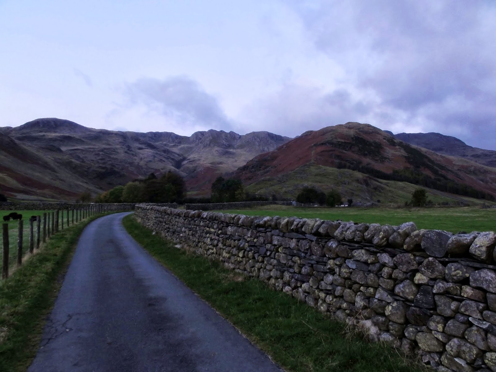
This was one of those walks where you set off with a fair idea of your route but then one thing leads to another and you end up wandering much further than planned. My intended summit today was Bowfell from old Dungeon Ghyll at the head of the Great Langdale valley. I wanted to climb it via the 'climbers traverse' route, which can be difficult to find, as I had discovered the previous year. That time I had stumbled across it, more by luck than judgement, while heading up Bowfell from Crinkle Crags. On that day the weather was poor, with rain and hill fog obscuring views. Having now researched the route more thoroughly, and with a clear forecast, I set off at 7:30am heading for 'The Band' and keeping an eye out for the point where a path veers off on the right for the climbers traverse and the extensive rocky crags of the east face of Bowfell.
 |
| The view along Mickleden from the path to Stool End farm at 7:00 am |
 |
| The path to Stool End farm and beyond to Crinkle Crags |
 |
| Crinkle Crags bathed in early morning sunlight |
 |
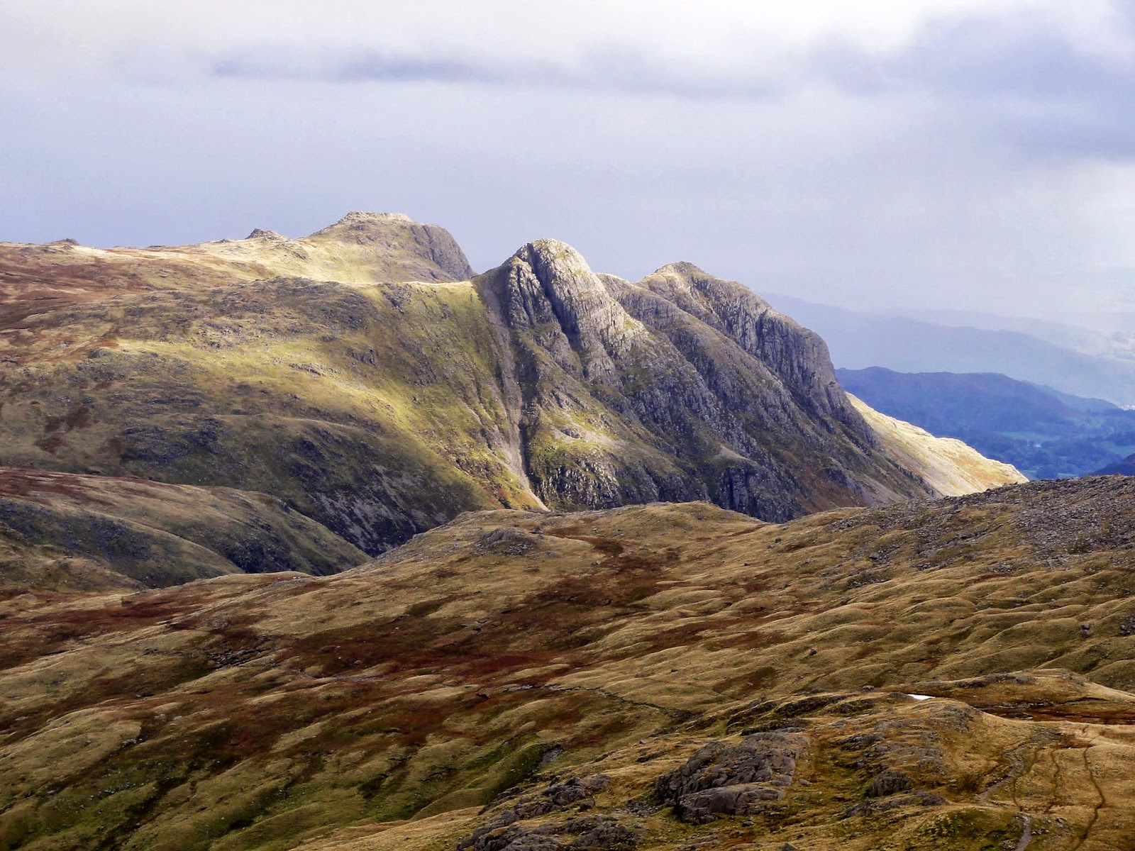
| Pike of Stickle and a local |
 |
| Views towards the Langdale Pikes from high up on The Band |
 |
From The Band: Red tarn just visible between Pike O'Blisco and Cold Pike with Wetherlam beyond
|
 |
| Attention! - this is the point where the indistinct path to climbers traverse veers off, snaking over high ground on right |
 |
| The view back down the Great Langdale Valley |
Climbers
traverse is a fairly well trodden path which winds it way underneath Bowfells impressive rocky scenery. It is so named as it was used by rock climbers to access Bowfell Buttress and Cambridge Crags. It is not shown on the OS map but is well described in Wainwright's Pictorial Guide: Book 4.
 |
| Climbers traverse meandering under Bowfells crags |
 |
| The view over Rossett Pike to Glaramara - from climbers traverse |
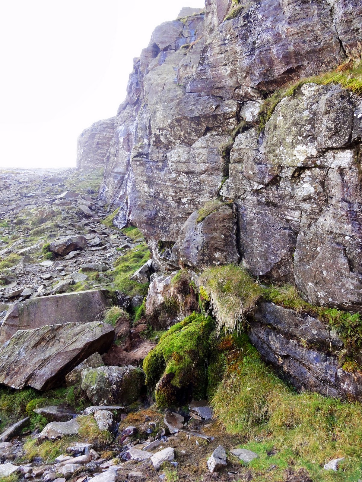
At the
point where a spring emerges from moss covered rock on the left a subtle
path can be seen cutting steeply backwards as it skirts Cambridge Crag.
This is easily missed so if you find yourself passing beyond the rocky
bulk of Cambridge Crag (see pictures) then you have gone too far.
 |
| Cambridge Crag (left) and Bowfell Buttress (right). The path up follows the diagonal contour seen climbing steeply leftwards under Cambridge Crag |
 |
| The spring where Wainwright recommends filling ones water bottle |
 |
| At the spring, a rocky path climbs up along Cambridge Crag |
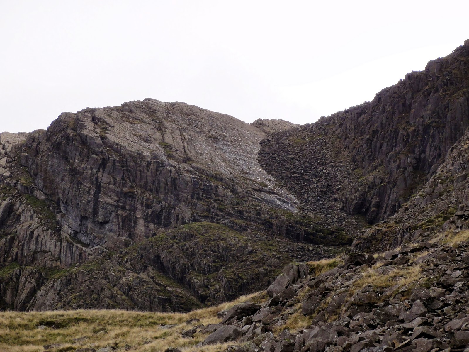
The steep 'path' soon disintegrates into a boulder field but the lie of the land is easy to follow as you skirt Cambridge Crag on the right, eventually emerging onto the iconic and aptly named 'Great Slab'. This impressive rocky feature is very obvious when seen but it is probably best to stay close to the boulders on the right which is the less exposed route.
 |
| The bottom of Great Slab |
 |
| A classic Lakeland view: the top of Great Slab on Bowfell |
Once at the top of 'Great Slab' take a moment to ponder the magnificent view towards the Langdale Pikes and the Great Langdale Valley. This is truly one of the finest Lakeland aspects. It's then a simple case of following the rock-scape upwards until you emerge on the summit of Bowfell and are rewarded by breathtaking views of the Scafells over the Eskdale valley.
Anyone familiar with Bowfell will be aware of its local microclimate. If there is a cloud to be seen, it will usually make a beeline for the summit while often leaving other nearby peaks untouched. This typically changeable weather was no different today. In the 20 minutes I sat there enjoying coffee & flapjack the clouds descended obscuring all views, it then snowed briefly before the cloud lifted and the sun came out.
 |
| Looking over Crinkle Crags from Bowfell summit |
 |
| Bowfell summit panorama west towards the Scafell range |
 |
| Bowfell summit panorama east back to the Great Langdale valley |
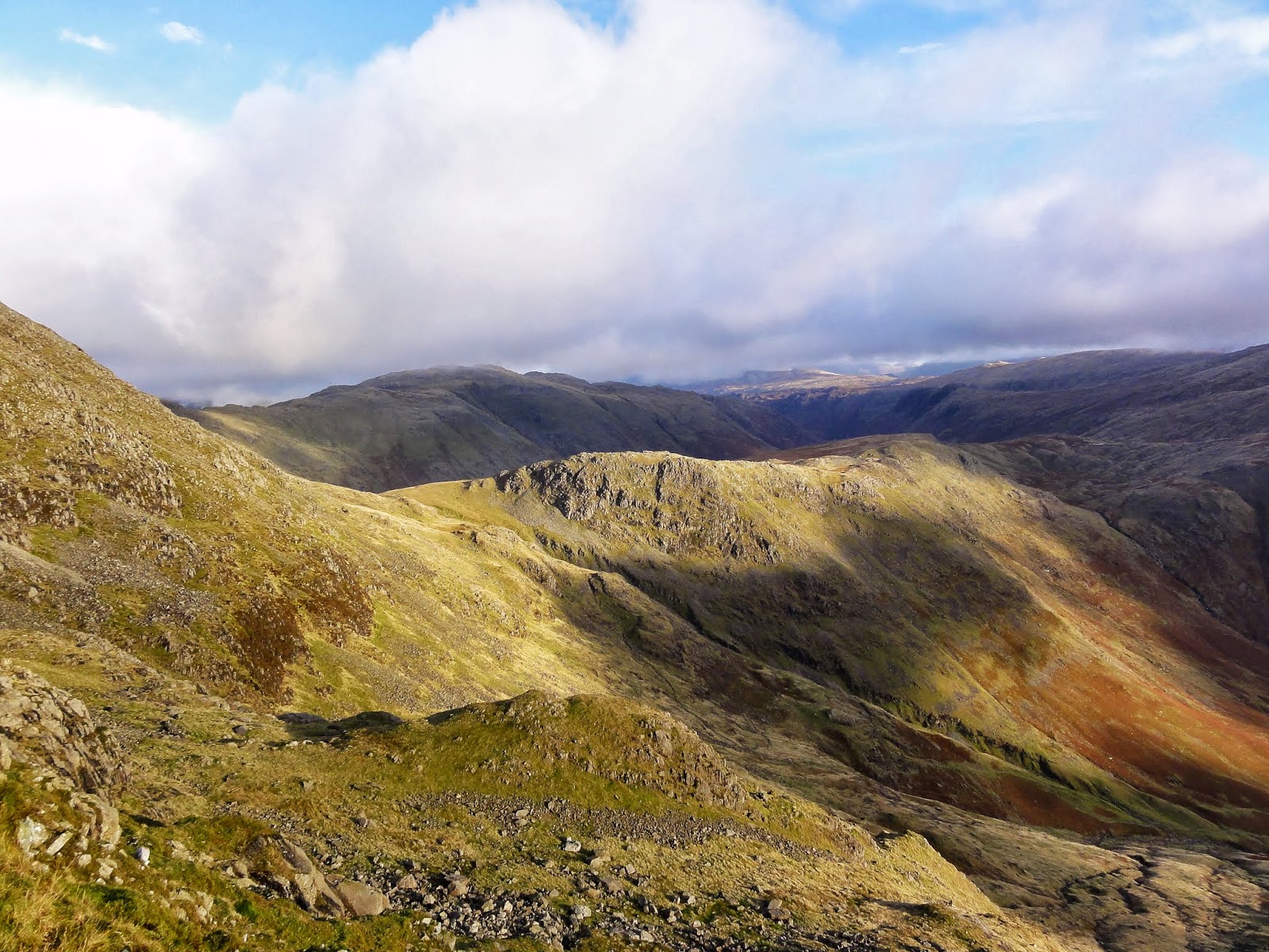
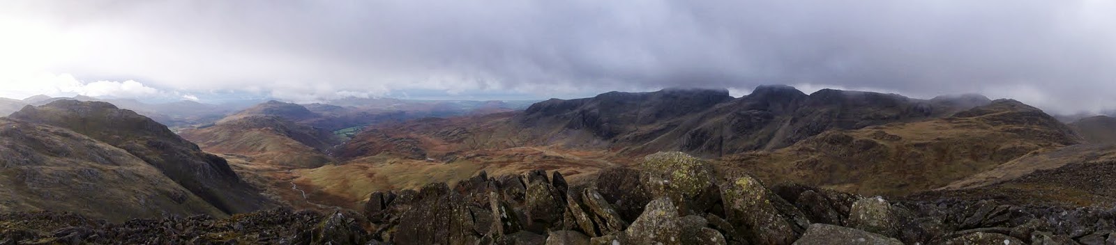
From this point I had intended to either tackle the Crinkles, or go the other way to Esk Pike and back via Rossett Pike. However, as I gazed across to Scafell Pike and eyeballed the route back along the ridge to Great End, Esk Hause, Esk Pike and back to where I was now stood, this seemed like such an inviting objective. A quick look at the map confirmed good paths all the way and it didn't seem 'too' far. Decision made, I set off at a quick pace, mindful of the distance and rocky terrain despite the illusion of an easy jaunt. It is a straight forward path along the broad ridge to Esk Pike with great views in all directions but particularly forwards to Great Gable and left to the Scafell range.
 |
| Esk Pike summit panorama west - Bowfell far left, Scafell's mid-right |
 |
| The Esk valley from Esk Pike |
| Great End and Great Gable from Esk Hause |
|
|
|
|
|
|
|
|
|
|
|
|
By the time I reached Esk Hause the weather had continued to improve and I was making good time. I followed the path upwards to gain the Scafell ridge and then continued on to Ill Crag.
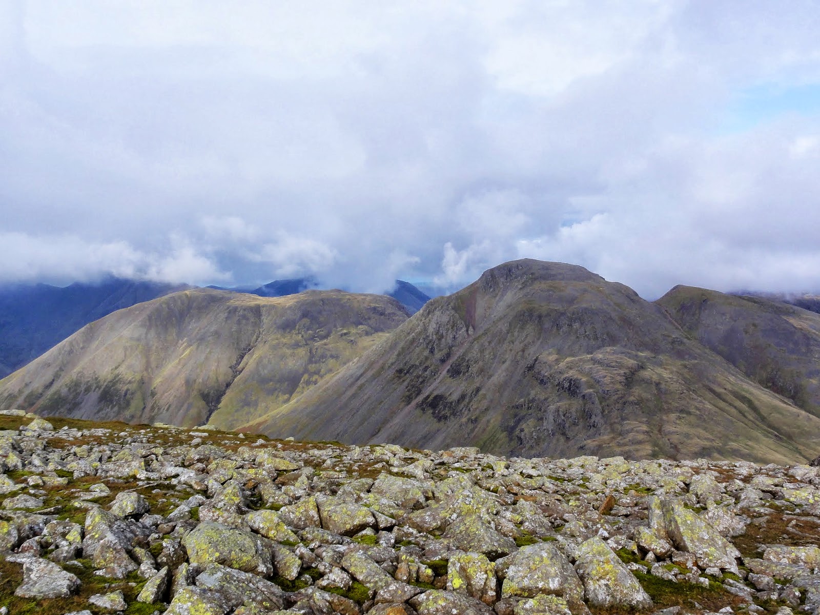 |
| Great Gable and Kirk Fell from near Ill Crag |
 |
| Ill Crag summit panorama over Eskdale |
 |
| Ill Crag summit panorama west |
 |
| Scafell Pike from Ill Crag |
Scafell Pike didn't seem to be getting any closer but I continued on along increasingly rocky terrain until the final steep ascent emerged onto the summit plateau. There was one other hiker at the top but he headed off as I arrived and I had the summit of England's highest all to myself for a precious 10 minutes before others emerged from the Wasdale side.
 |
| Scafell Pike summit panorama west |
 |
| Scafell Pike summit panorama north-east |
 |
| Scafell Pike summit view east towards Bow Fell & Crinkle Crags |
 |
| Scafell Pike summit view towards Scafell and Wast Water |
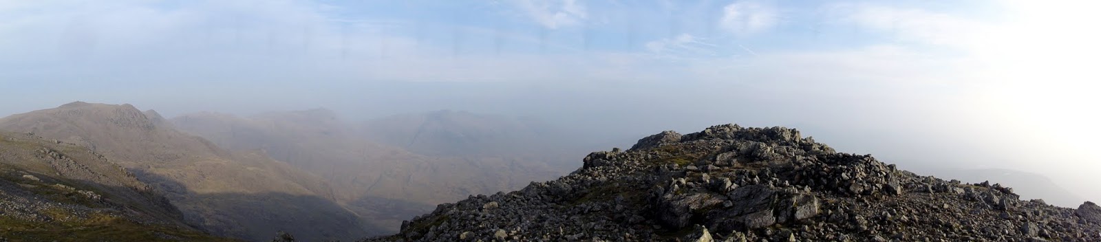
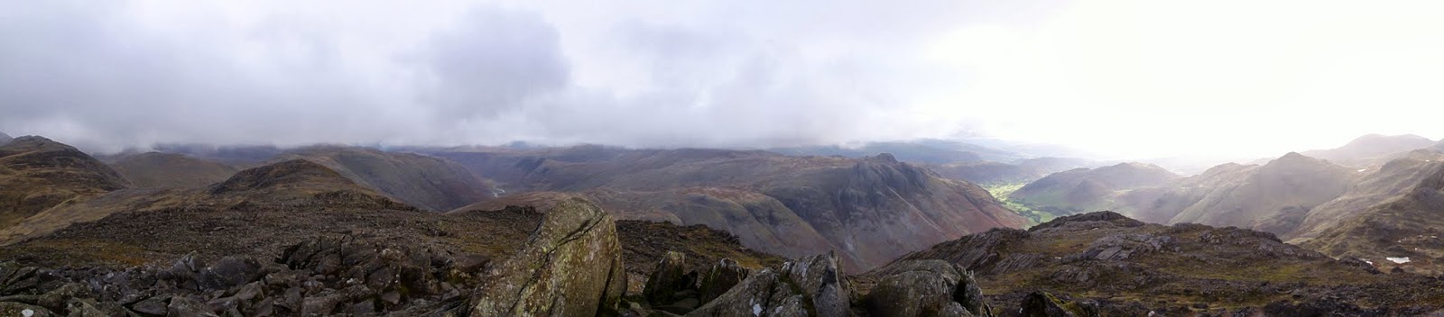
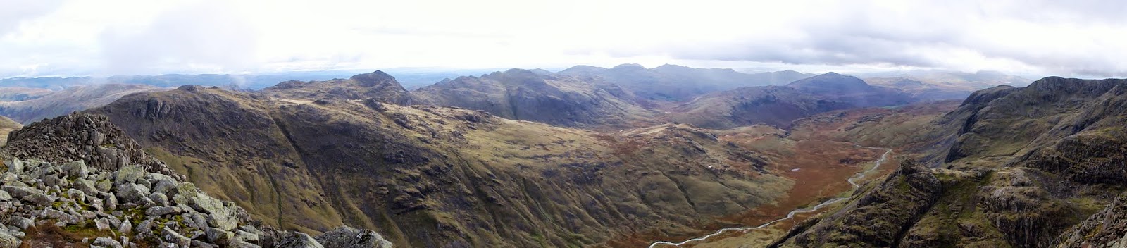
I headed back along my tracks making a short diversion to Broad Crag before retreading my steps back along the ridge towards Great End. When I reached the point labelled 'Bield' on the map where the main path descends back to Esk Hause, I decided it would be foolish to walk past Great End and so headed up along an easy path to its summit. It was a worthwhile detour as the views in all directions were stunning.
 |
| Great Gable and Styhead tarn from Broad Crag |
|
|
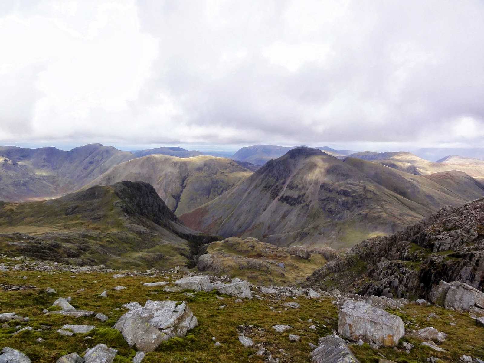 |
| Lingmell and Great Gable from near Great End |
 |
| Great End summit panorama west |
 |
| The view over Rossett Pike towards Great Langdale - from Great End summit |
 |
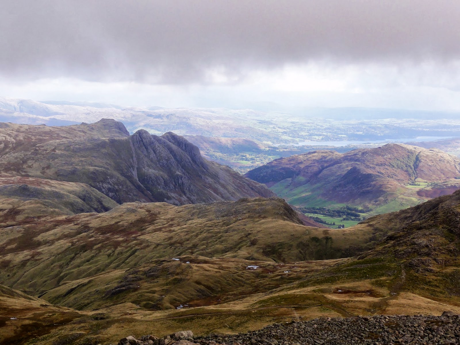
| Esk Pike and Bowfell from the descent to Esk Hause |
I then walked back down to 'Bield' to rejoin the path to Esk Hause before bearing eastwards towards Angle Tarn. From this area there are stunning views over to the Langdale Pikes. There is something special about looking down onto these iconic fells from higher ground and I think this vantage point showcases the 'Pikes' from their very best aspect.
 |
| Looking down on the Langdale Pikes from near Angle Tarn |
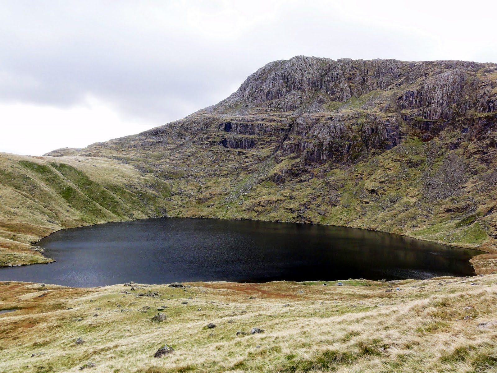 |
| Angle Tarn |
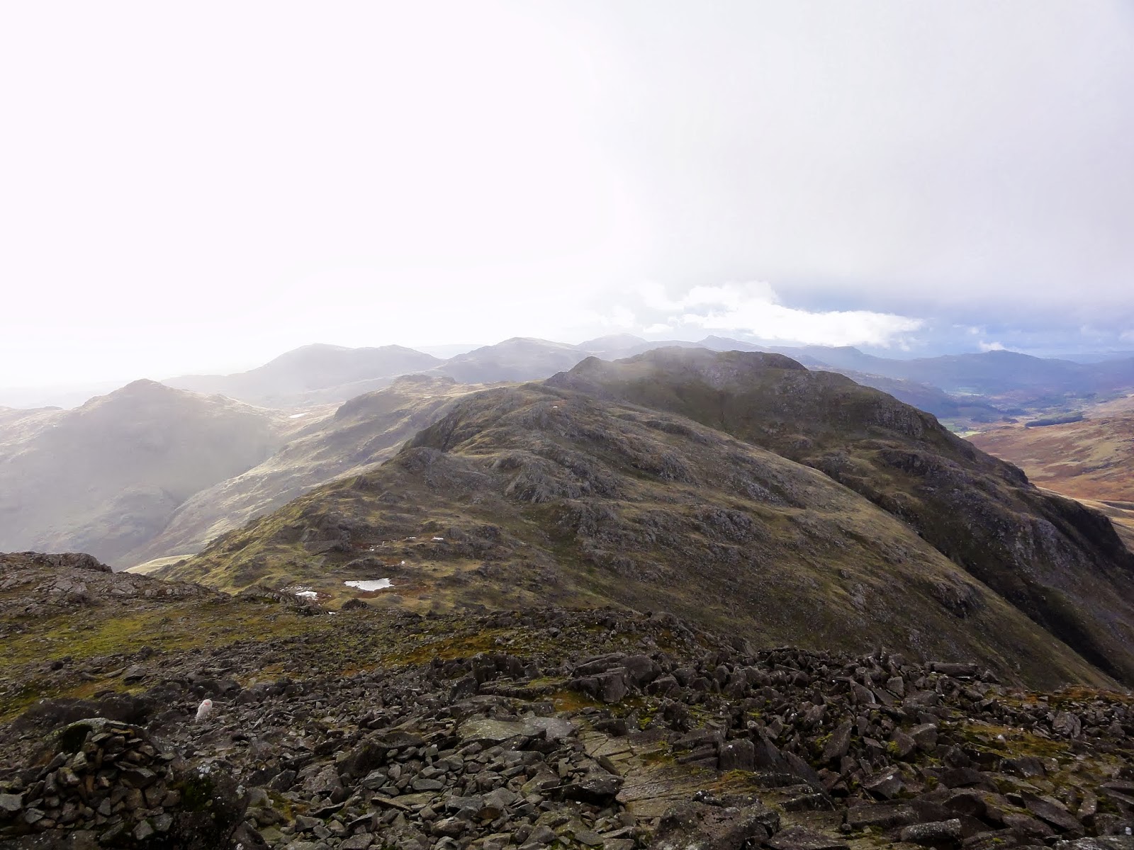
The last fell of the day is Rossett Pike, which although the least in altitude, commands a superb vantage point at the head of the Great Langdale valley.
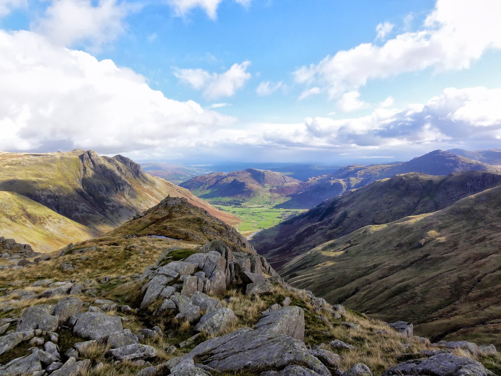 |
| Rossett Pike summit view down the Great Langdale valley |
 |
| Rossett Pike view over the High Raise massif and the Langdale Pikes |
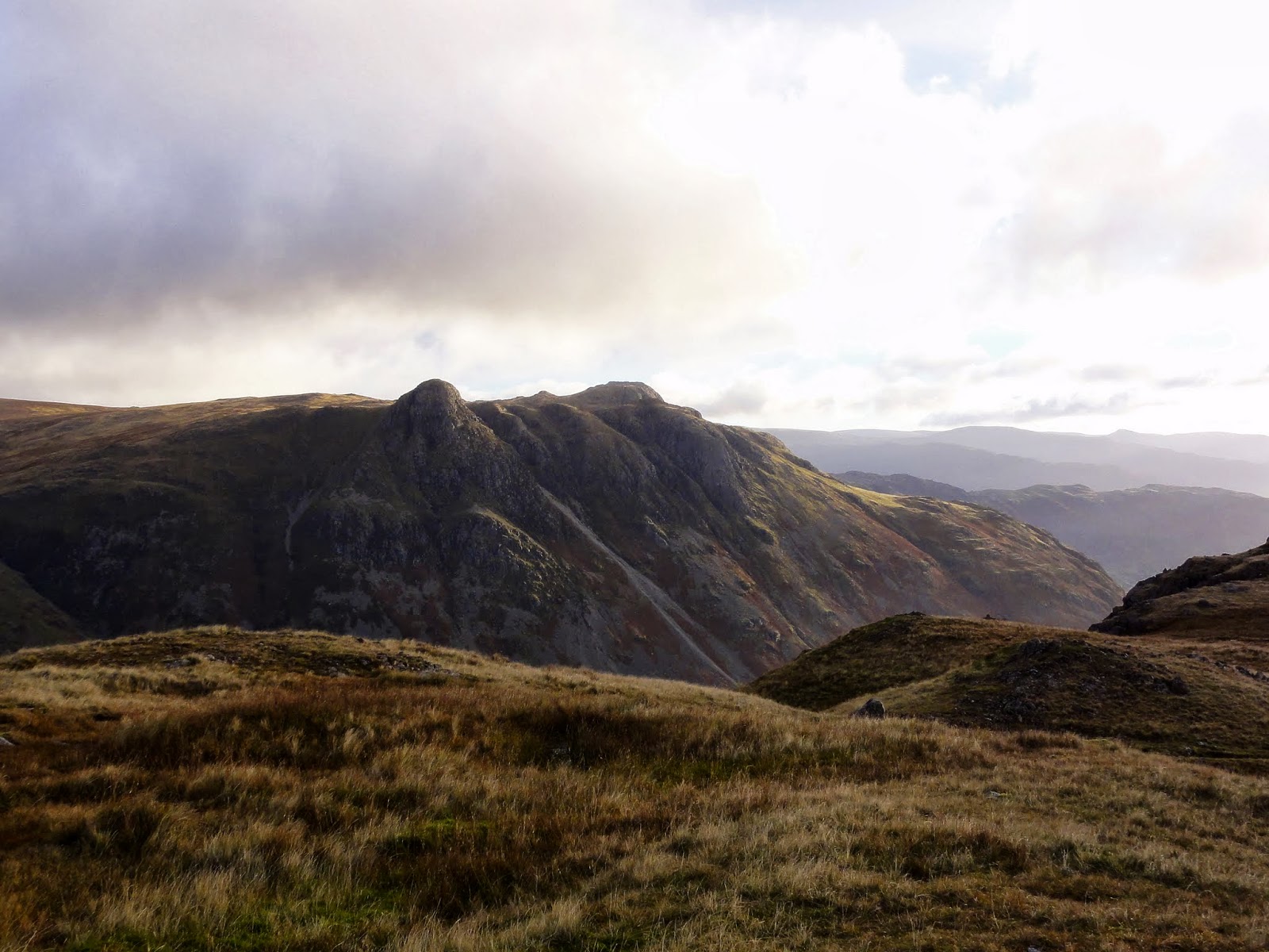
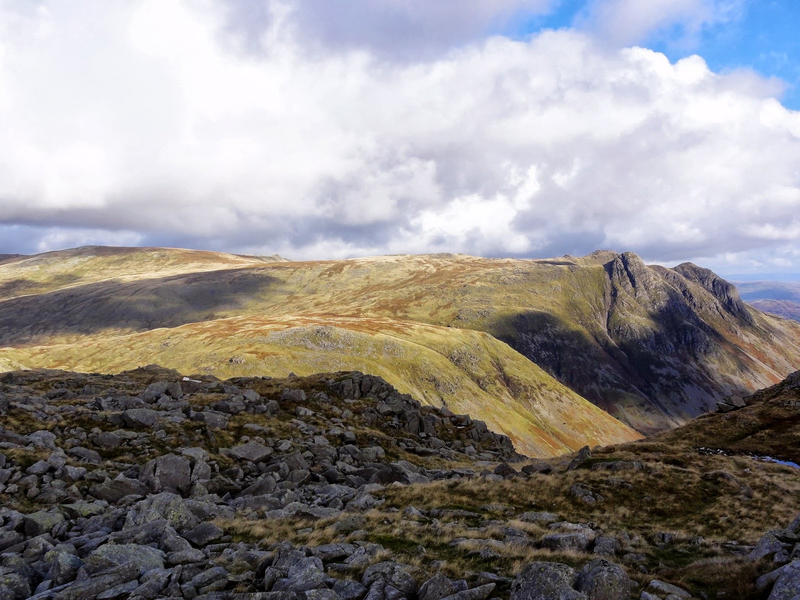
On the descent from Rossett Pike the impressive rock scenery of Bowfells eastern face demands increasing attention. My earlier ascent path along climbers traverse and up to Great Slab becomes clearly visible.
 |
| Great Slab and the ascent path along the boulder field |
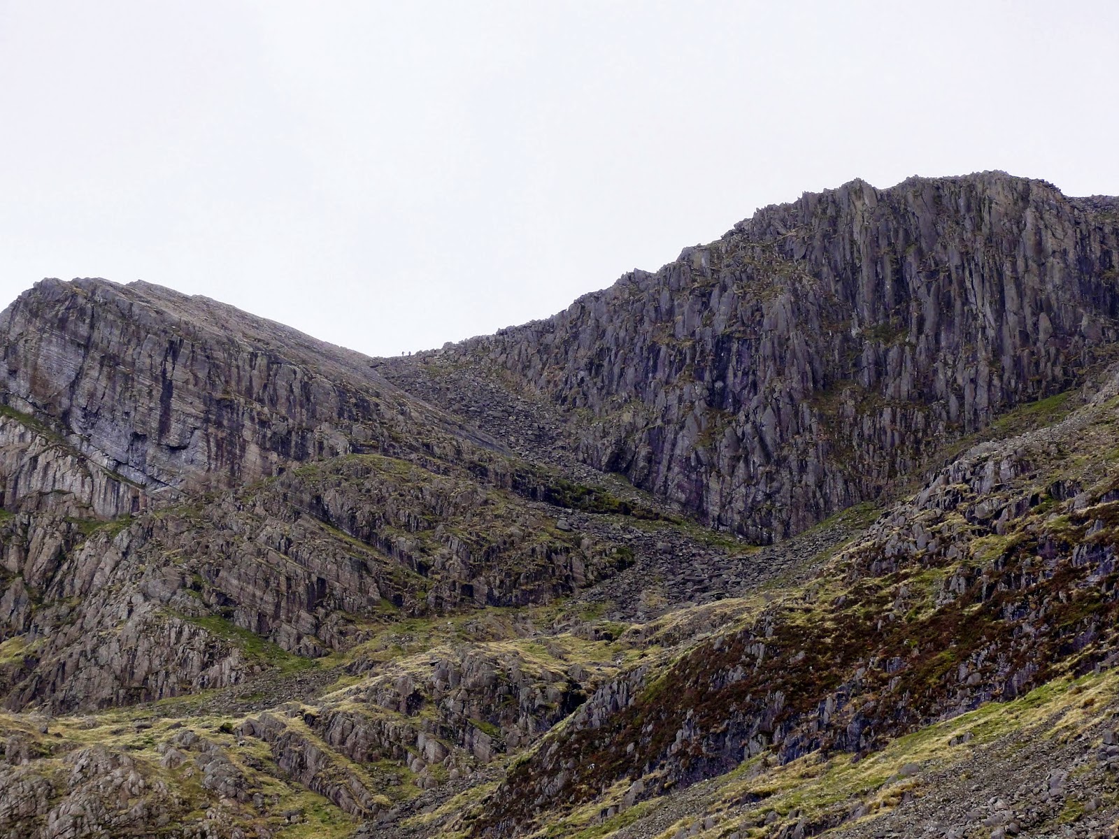 |
| Great Slab and Cambridge Crag: 2 climbers can just be seen emerging from the top of the boulder field |
From here the path descends steeply down Rossett Gill to eventually emerge at Mickleden under the dominating bulk of Pike of Stickle which by now was bathed in late afternoon sunlight.
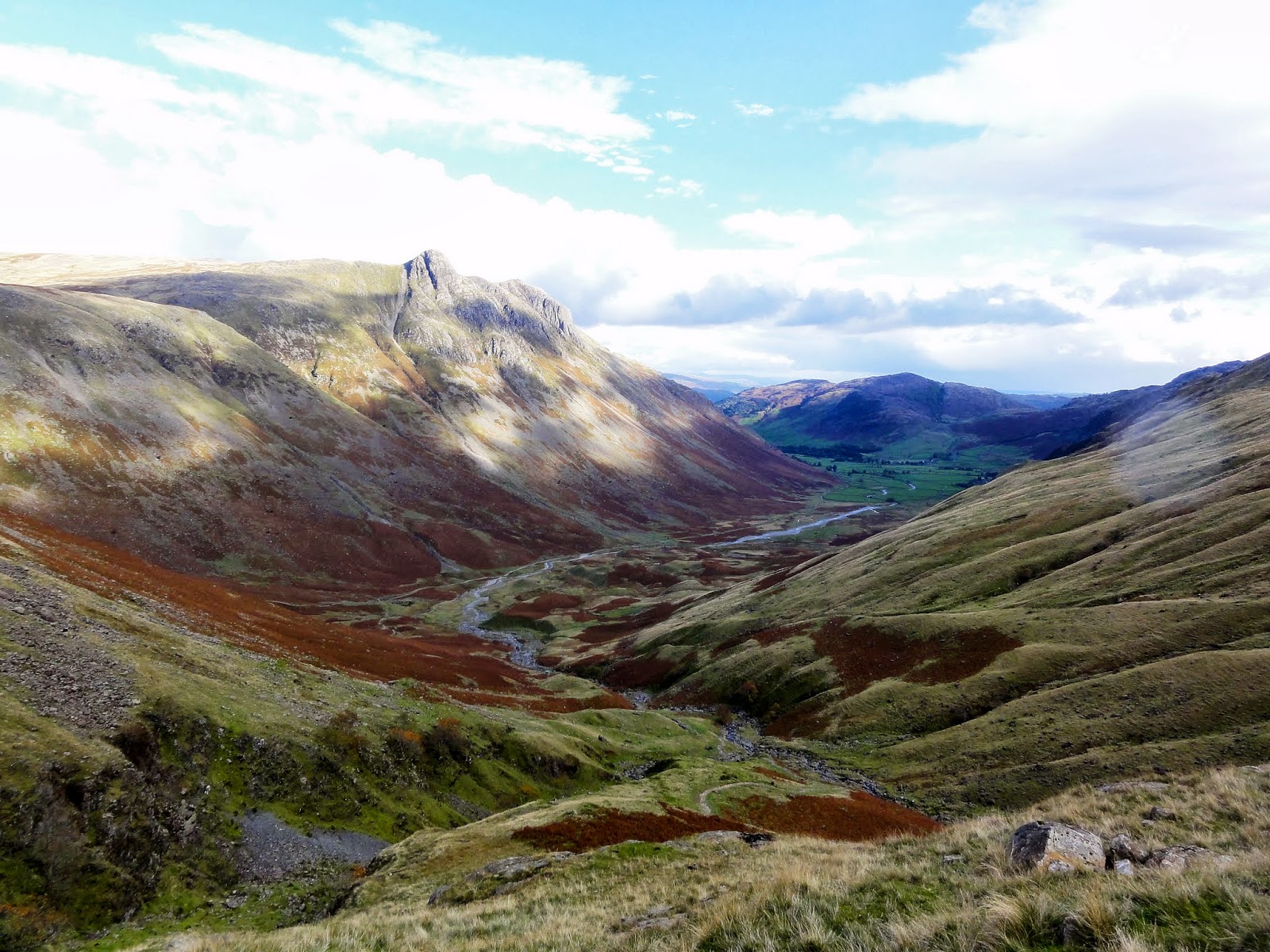 |
| Mickledon & the Great Langdale valley from Rossett Gill |
 |
| Pike of Stickle from Mickledon |
 |
| A last glimpse back along Mickledon towards Rossett Pike |
The legs were feeling tired now and it was a weary but thoroughly satisfied plod back along the Cumbria way to the car parked by Old Dungeon Ghyll. This was about as far (and high) as I would want to walk in a day but it was a route which had everything that I love about day hiking in the Lake District; impressive rock & crag scenery, a bit of scrambling, majestic peaks, quiet tarns and stunning views. What's not to like ?